by Laurel | September 15th, 2014
30 October 1927
Sites of Factories Were Farm Lands of 1870, Ward I Houses Gone
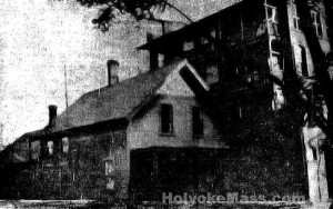
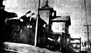
Holyoke, October 29 — The other day Charles W. Embury, assistant cashier at the City National Bank, made a find of an atlas of Hampden County in 1870 and on showing it to the president, C. Fayette Smith, the latter was delighted to note that the house of his father, James M. Smith, in Ward I, was indicated on it. One afternoon this week Mr. Smith drive down to Ward I and was able to locate his father’s house on Ely Court, next to the Rosary Clubhouse, a modest story and a half house but well built, now a dull brown color. Mr. Smith believes that it has been turned around in a different position from what it occupied when, as a boy, he lived in it. He took another street and driving into the alley in the rear of Bowers Street on a hunt for the Rufus Mosher house that once stood on Bowers Street near the top of the hill. No trace of it was found, but there was found in the rear of one of the Bowers Street blocks the house formerly owned by Richard Pattee. Evidently when the blocks were built this house, now in rather need of repair, was moved to the rear of the block as was done in several other cases as back of the Willard house on Suffolk Street.
Only Two Houses Located
Mr. Smith was reminiscent as he passed through the ward. All around the West Street School and where the Deane Works and many other factories stand was then farm land, a part of it wooded. “I used to snare rabbits here,” he said as he passed the West Street playground. “They didn’t think I was old enough to tote a gun so I used to snare them instead.”
These two houses are the only ones to be located that were standing in 1870. Possibly there are others but their location is not known. The Rufus Mosher house was a square house, solid and well built, one of the first to be erected in that section. It may have been moved elsewhere. Mr. Pattee was a member of the machine shop of Pattee & Perkins, Duane T. Perkins being the other member. Their shop was on Crescent Street.
Interesting Facts Recorded
The Holyoke Public Library ought to take that atlas from Charlie Embury by main force if need be. It is too valuable to be lost, strayed or burnt up in some fire. the city hall dies not appear on these maps of Holyoke. It took three plates to print Holyoke. The Ward I section occupies most of one plate. There was no bridge to South Hadley Falls marked on the plate, but a road is marked as leading to the ferry. The cut of the dam is after the apron was put on. There was no city hall, but the Second Congregational Church is marked as standing where the Mosher building now stands and the Episcopal Church at Maple and Suffolk Streets where the Hadley Falls Trust Company building now nearing completion, stands. Above Suffolk Street was an expanse of market streets but with no buildings on them. “Tiger Town” was a few houses. The map of Northampton Street is very instructive. Elmwood is marked as Baptist Village, Ireland Depot was an early name and this appears on the map. Turning to Chicopee, Springfield and even Westfield these places were developed and thickly settled. Mr. Smith was amazed at the size of Westfield as compared with Holyoke at that time. Maps of other towns equally valuable though not of as much interest to Holyokers.
Adapted from The Springfield Republican.
